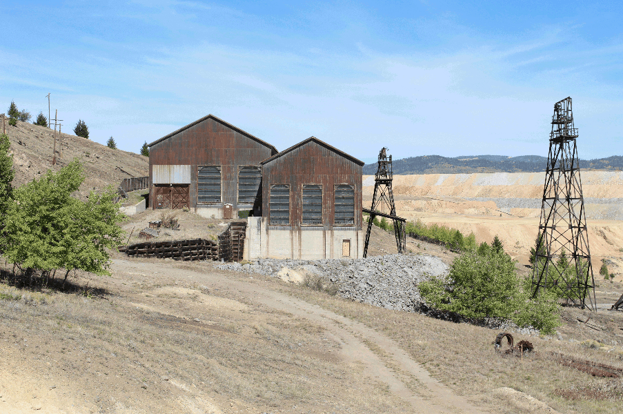
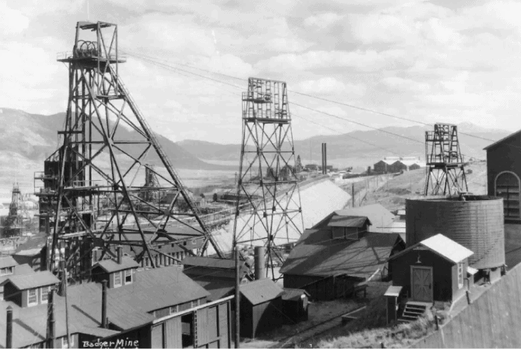
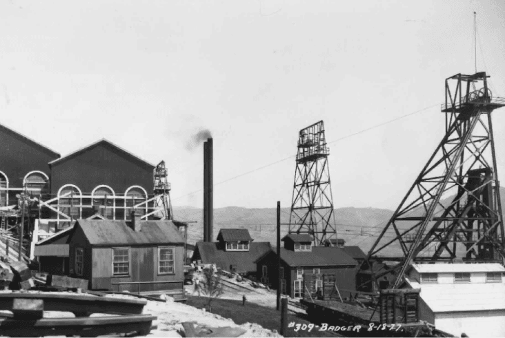
The Rainbow Block is an 878-acre land package with complete mineral rights located in historic North Butte and Walkerville, Montana. First given its moniker by early miners due to the great “Silver Bow” of veins visible on the surface that extend to depth, this area has a rich mining heritage. For over a century, the Anaconda Company mined these rich silver-zinc-copper veins, primarily focusing on deep copper deposits exceeding 3,000 feet. Silver Bow Mining Corp now targets the untapped potential of numerous promising silver-zinc vein structures above the current water table, including the Rainbow, State, Chief Joseph and Lexington Veins, with an exclusive focus on underground mining methods to extract these resources, including zinc, which is designated as a critical metal by the United States.
Our team has meticulously georeferenced and modeled the extensive network of underground workings within the Rainbow Block, part of the legendary Butte mining complex that features over 10,000 miles of tunnels. We are currently finalizing an independent resource estimate for this expansive deposit comprising over 40 veins thus far while continuing research and exploration efforts in one of America’s historic mining districts.
Why Rainbow Block?
Unique Advantages
Ownership of property (previously under 50-year lease)
Previous 3% uncapped NSR replaced with 2% NSR with full buy-down right
Rainbow Block, subject of current resource delineation efforts of approximately (878 acres) resource based on:
Over 280 holes drilled from surface to underground.
8 recent diamond drill holes
Over 15,000 Anaconda underground channel samples on the actual veins incorporated into the assay database, overseen by independent QPs
Constrained to 1,000 ft depth (above the modern water table).
Further Resources Growth Potential
Rainbow Block — along strike
Rainbow Block — between current veins (Anaconda did not map narrow veins less than 7 ft)
Butte Mining District History: Commonly Known as "The Richest Hill on Earth"
Silver was being mined on a small scale as early as 1874 in Butte, Montana, but by the mid-1880’s Anaconda encountered signification copper mineralization at depth.
In 1896, an area five square miles in the Butte Mining District produced 210 million pounds of copper annually, representing 26% of world supply, and 51% of the USA copper supply. Butte’s copper mines produced approximately one-third of all copper mined in the United States during World War I. During World War II, Butte provided approximately 25% of all copper used in American wartime manufacturing.
In the late 1910’s, Anaconda expanded operations to the adjacent silver-zinc-lead veins while remaining primarily focused on the larger copper deposits. From 1881 to 2019, the Butte Mining District produced: 11.2 Mt copper; 702 Moz silver; 2.2 Mt zinc; 2.9 Moz gold plus significant Mo and Mn. From 1916 to 1967, the silver-zinc-lead mines produced 67 Moz silver, 3,600 Mlb zinc, 470 Mlb lead plus significant copper and gold credits. Between 1989 and 1991, New Butte Mining Co briefly operated, mining 120,000 t from the Rainbow Block.
Quick Facts
High Grade
Highly grade Au-Ag-Zn-Pb project on the “Richest Hill on Earth” in Butte, Montana.
Mineable Veins
42 identified and developable mineable veins less than 1,000 ft from surface.
New Leadership
New leadership headed by Travis Naugle and Quinton Hennigh.
Exploration License
Exploration License in place — underground decline permit amendment now in progress.
Project Consolidation
Project consolidation complete — approx. 3,300 acres of private mineral concessions.
Strategic Acquisition
Strategic acquisition of Anaconda’s Ryan shaft location through Goldsmith purchase
100 Years of Quality
Over 100 years of quality Anaconda Company mining and metallurgical data.
Extensive Legacy
Extensive legacy underground workings and development in place.
Location
Located adjacent to operating Montana Resources Continental pit and infrastructure.